01
Real-time CFS, every river
USGS gauge data refreshed every 15 minutes. 1,300+ rivers across 38 US states and Canada. Set a fishable range and we’ll notify you when conditions hit.
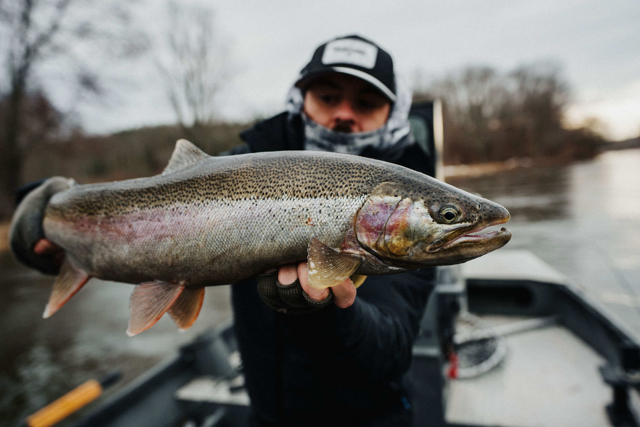
Driftline Mode · Fishing
Real-time flow, water temp, tides, buoys, and regulations for every river worth fishing. Sourced direct from USGS and NOAA, refreshed every 15 minutes.
Quick answer
Baseline Maps (Driftline mode) is a fishing app that combines real-time USGS river flow data, NOAA buoy and tide data, state fishing regulations, and hatchery returns into one place. It covers 1,300+ rivers across 38 US states and Canada, refreshed every 15 minutes.
River detail
CFS, water temperature, gauge height, 30-day trend. Today's reading next to the historical median for this date. Set a fishable range and we'll notify you when it hits.
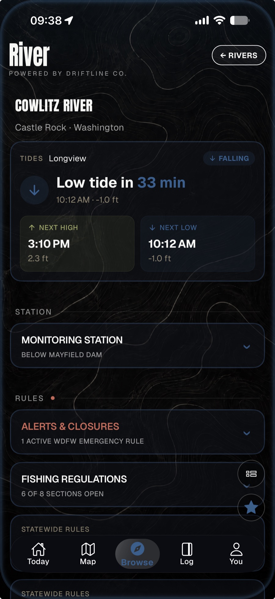
What's in Driftline
USGS gauge data refreshed every 15 minutes. 1,300+ rivers across 38 US states and Canada. Set a fishable range and we’ll notify you when conditions hit.
Beyond CFS. See water temperature, gauge height, 7-day and 30-day trend lines. Compare today against historical medians for that date.
Swell period, wave height, water temperature, wind. Pre-loaded for every NOAA station along the US Pacific coast.
Coastal and estuary stations. Solunar major and minor windows aligned to your trip date.
WDFW and ODFW regulations parsed by river and zone. Emergency rule changes pushed to the app within hours of agency posting.
Live escapement counts and species run-timing windows. Plan your trip around the actual fish, not the calendar.
Log catches with location, species, weight, conditions, photos. Private by default. Export anytime.
Side-by-side flow comparison for any subset of rivers. Find the one fishing right when your home water isn’t.
Coverage
Coast to coast across 38 US states plus British Columbia and Ontario — including Washington, Oregon, California, Idaho, Alaska, Michigan, New York, Ohio, Utah, Wisconsin, Pennsylvania, Nevada, and Minnesota. Every NOAA buoy along the US Pacific Coast.
FAQ
One app. Every river. Free for 14 days.