01
Open onX Hunt
Launch the onX app and tap the My Content folder icon at the bottom of the screen.
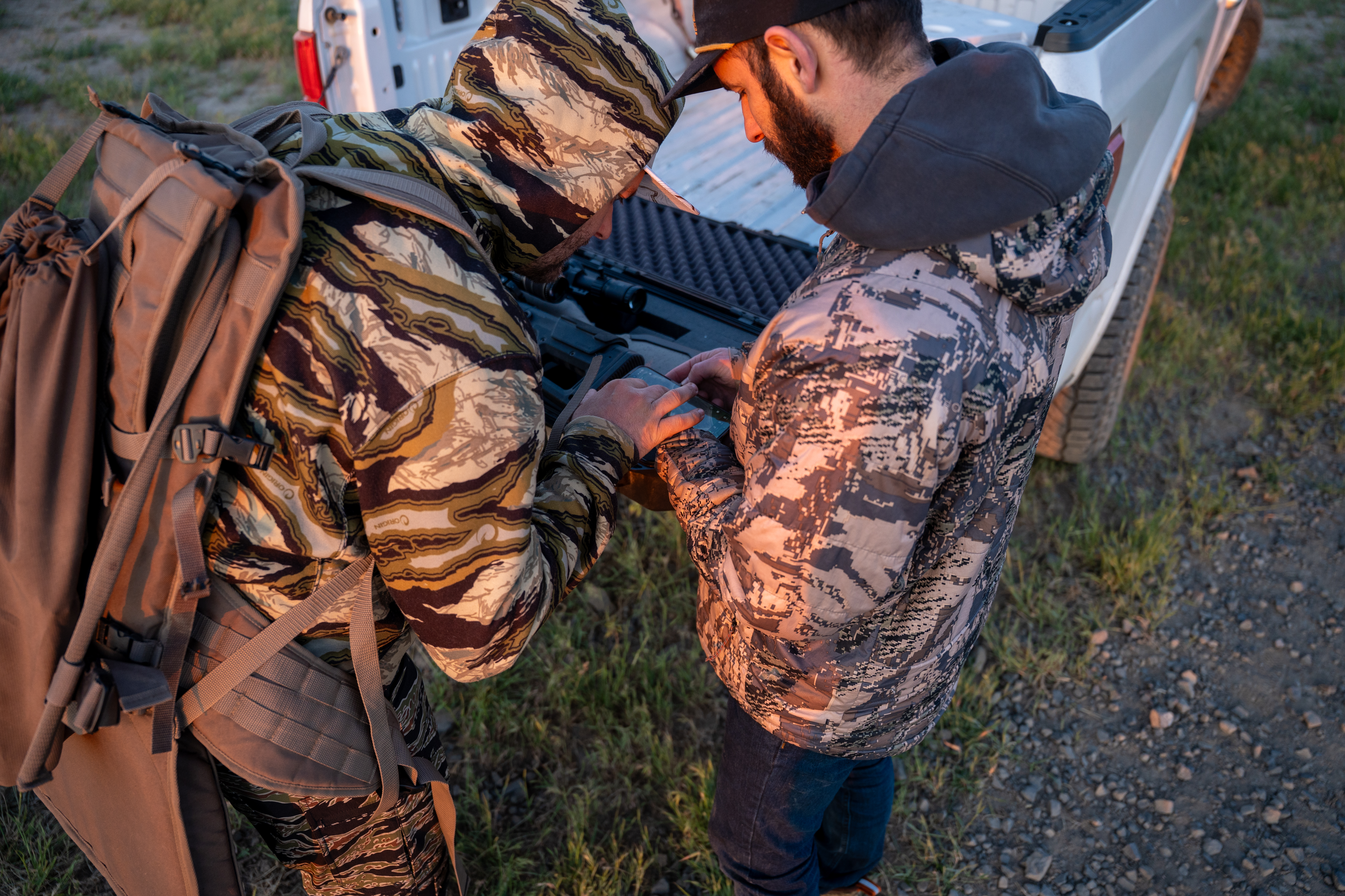
Migration guide · zero data loss
Import every waypoint, track, and custom icon into Baseline Maps in under a minute. No data loss. No re-tagging.
60s
Transfer time
0
Lost waypoints
$34.99
Per year, all modes
Cancelling onX for good?
Cancel your onX auto-renewal, upload the confirmation screenshot, and we’ll comp your first 12 months of Baseline Maps. Every mode, no card.
Step by step
Export your data from onX and import it into Baseline Maps right on your phone — about a minute, start to finish. A desktop route for bulk imports is coming soon.
01
Launch the onX app and tap the My Content folder icon at the bottom of the screen.
02
Tap Select in the top right. The Select Content panel slides up from the bottom.
03
Tap individual waypoints, or hit Select All to grab everything at once.
04
Slide the menu left until you see Export. Tap the folder icon, then Save to Files.
05
From the home screen, tap the menu button in the top-right corner, then scroll down to Import GPX.
06
Pick the GPX file, preview the import, edit names if needed, then tap Import.
Your data
What transfers
What you gain
Same maps, more app
The maps you already trust, plus fishing, foraging, and parsed regulations — bundled into one subscription.
| Feature | onX Hunt | Baseline Maps |
|---|---|---|
| Hunting maps & GMUs | ✓ Included | ✓ 1,300+ units · 11 states |
| Land ownership | ✓ Included | ✓ Parcel-level |
| Offline topo & satellite | ✓ Included | ✓ Included |
| Waypoints & tracks | ✓ Included | ✓ Imported |
| Fishing — rivers, tides, buoys | — Separate app | ✓ 1,300+ rivers |
| Foraging — burn scars, permits | — Not offered | ✓ Included |
| Regulations by unit & river | — Not parsed | ✓ Built in |
| Annual cost · all states | $99.99 | $34.99 |
onX charges separately for Hunt and Fish. Baseline Maps puts fishing, hunting, and foraging in one subscription.
FAQ
Download Baseline Maps, import your waypoints, and hunt tomorrow. Free for 14 days.