- What is a GMU?
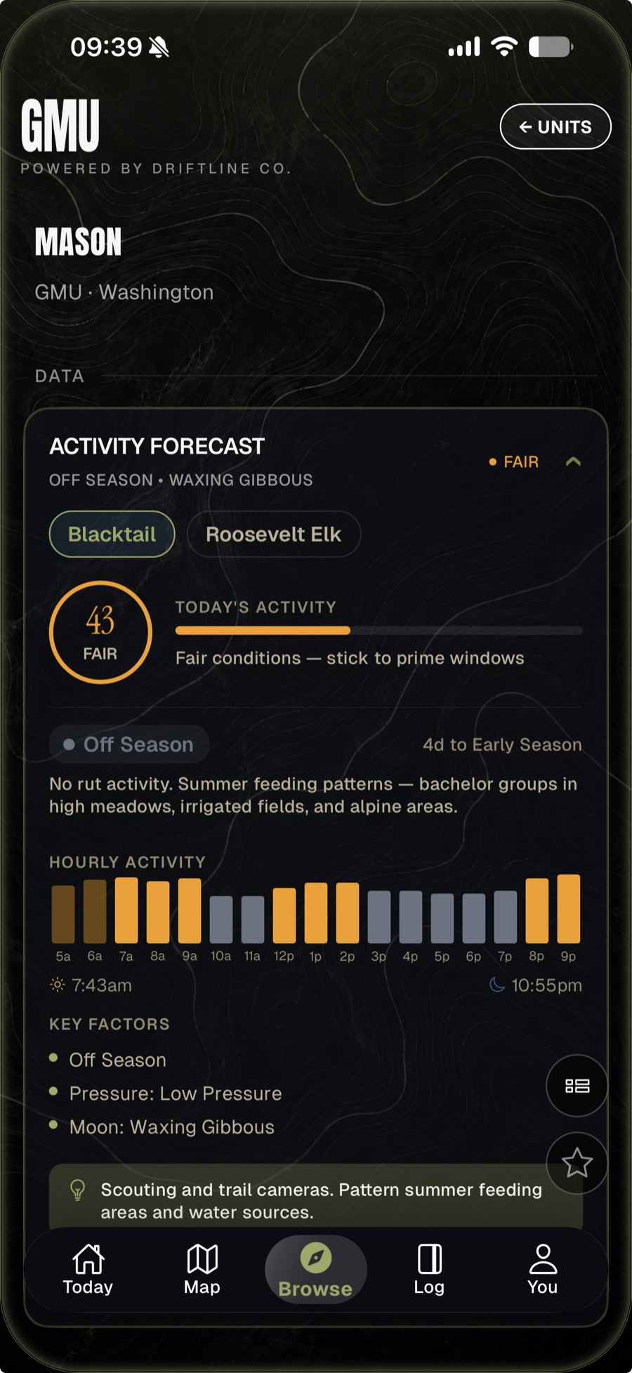
- A GMU — Game Management Unit — is a defined geographic area that state wildlife agencies use to manage hunting seasons, tags, and bag limits. Different states call them different things: WMUs in some states, Hunt Units in others, GMUs in the West. Each unit has its own season dates, weapon restrictions, and (sometimes) draw requirements.
- How do I find public hunting land?
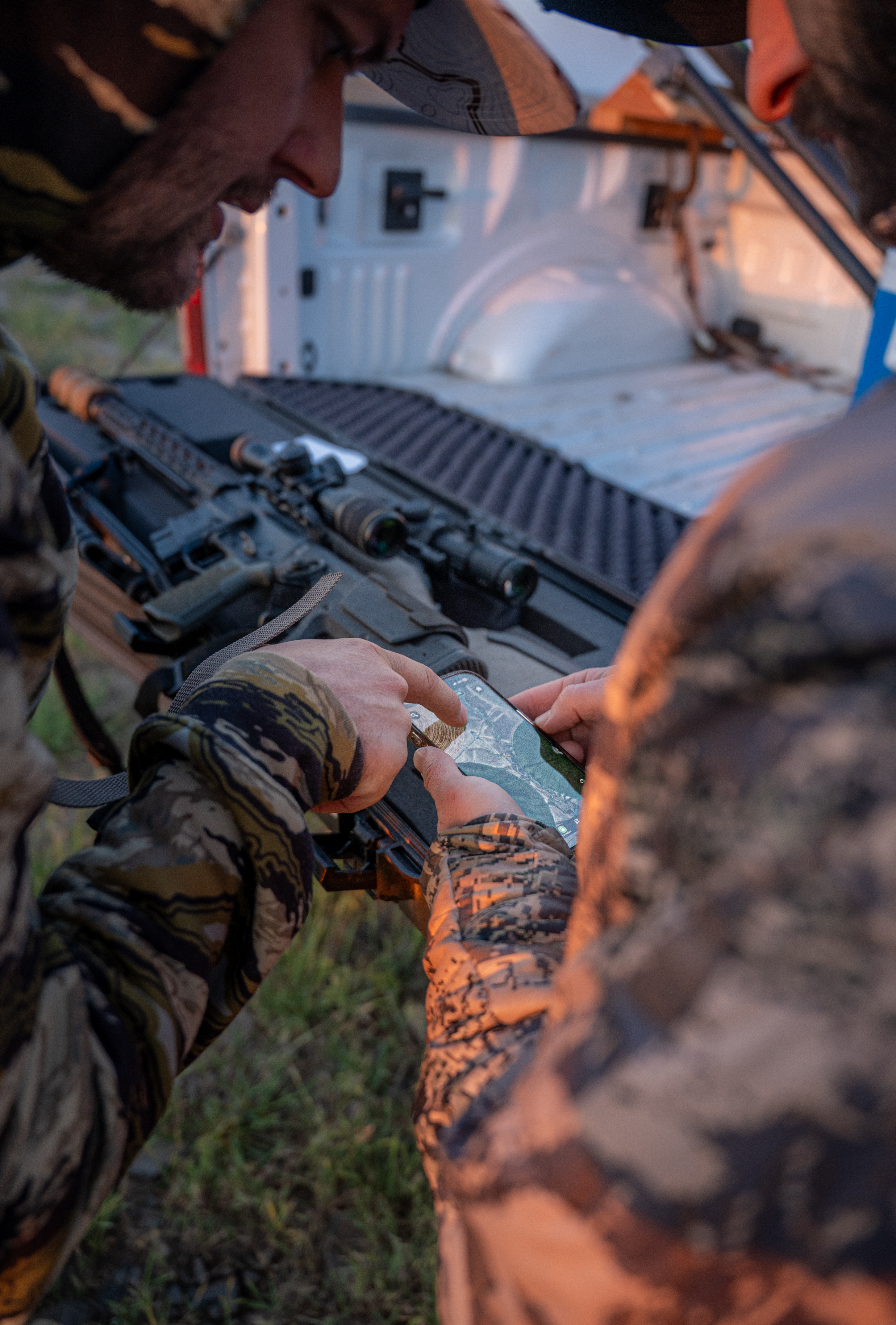
- Baseline Maps shows BLM, USFS, state DNR, and DFW-owned public lands color-coded against private parcels. Filter the map to "public only" and you see every legally huntable acre in your unit. Crosshair any parcel to see the owner, acreage, and any access restrictions.
- Is this an onX alternative?
- Yes, with two differences: Baseline Maps includes fishing intelligence (Driftline mode) in the same app and same subscription. And our pricing is one flat fee, not per-state tiers. Same level of parcel detail; lower total cost.
- Does Baseline Maps work offline?
- Yes. Download map regions before you go. Topo, hillshade, satellite, parcels, and GMU boundaries all cache to the device. Tap-and-trace routes work without cell service.
- How do I import my onX waypoints?
- Export your onX waypoints as a GPX or KML file from the onX app. In Baseline Maps, go to Settings > Import. Pick the file. Sixty seconds. Zero data loss.
- Are draw odds included?
- Yes for Oregon controlled hunts. Washington and Idaho draw odds support is on the roadmap. We use state agency raw data — not aggregator estimates.