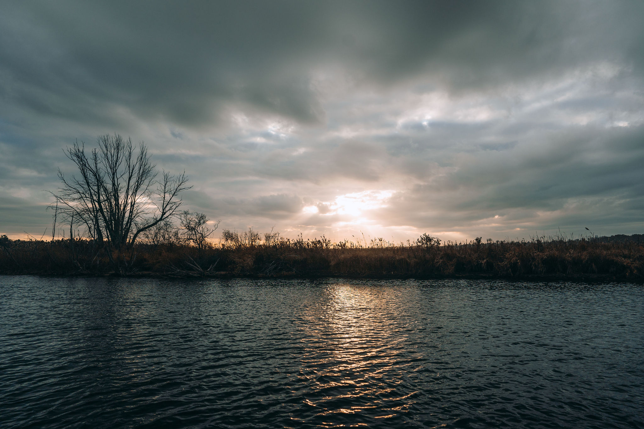
State coverage · Oregon
Oregon fishing, hunting & river flow maps.
216 rivers with live USGS flow. All 68 ODFW units with controlled hunt draw odds. Land ownership, tides, buoys, and regulations — one app, sourced from the agencies, refreshed every 15 minutes.
Quick answer
Baseline Maps covers Oregon with real-time flow data for 216 rivers from USGS gauges refreshed every 15 minutes, maps for all 68 ODFW wildlife management units and 43 controlled deer hunt areas with draw odds, land-ownership parcels, tide and buoy data for the coast, and ODFW regulations parsed by river and zone.
Last updated · Sources: USGS, NOAA, ODFW, BLM
Rivers · Driftline mode
216 Oregon rivers, live.
Baseline Maps monitors 216 Oregon rivers and forks with real-time CFS, water temperature, and gauge height from USGS streamgages, refreshed every 15 minutes. Every river page plots today’s flow against the historical median for the date, so “is it fishable” takes one glance, not five tabs.
Set a fishable range on any river and get notified when flow drops into it. New to reading flow? Start with what CFS means in fishing.
Nestucca, Wilson, Trask, Siletz, Alsea
Rogue, Umpqua (main, North & South forks)
Willamette, McKenzie, Clackamas, Sandy
Deschutes, Metolius, Crooked, John Day, Grande Ronde
+ 195 more gauged rivers and forks statewide
Hunting · Ridgeline mode
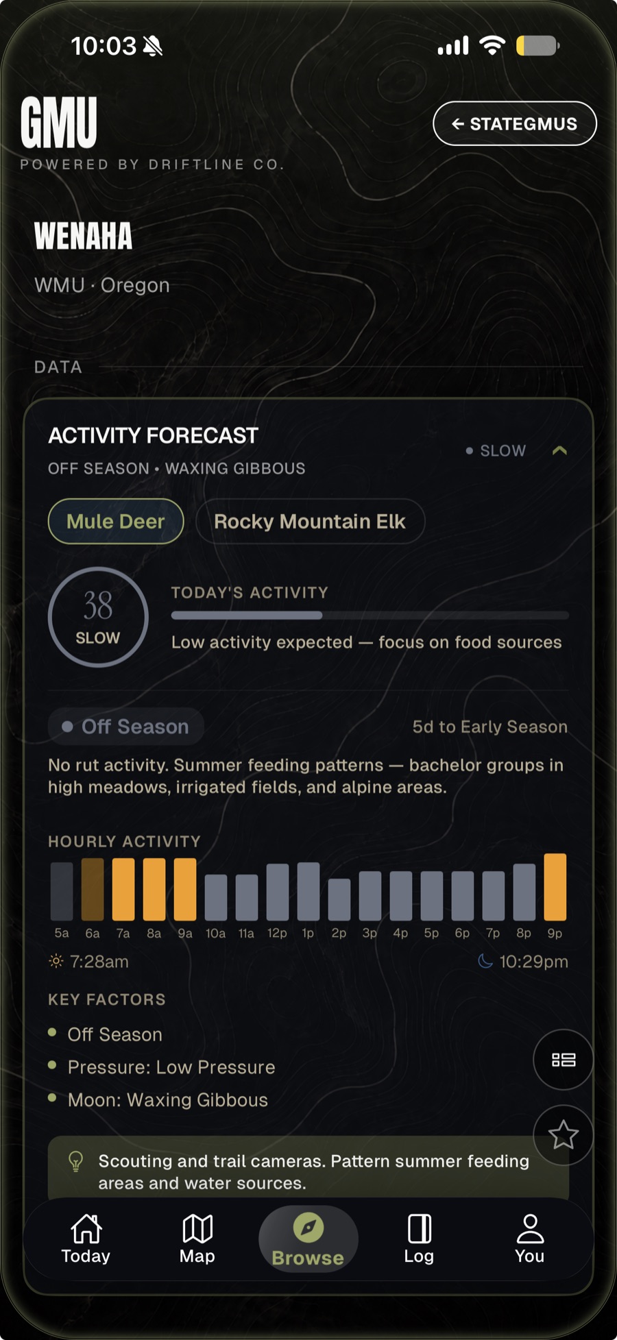
Every ODFW unit. Draw odds included.
All 68 named ODFW wildlife management units — Saddle Mountain to Wenaha to Steens Mountain — plus 43 controlled deer hunt areas, with controlled hunt draw odds built in. Land ownership overlays show public versus private, BLM, US Forest Service, state land, and timberland owners — with parcel lines and owner names.
- Season dates and regulations by unit
- Controlled hunt draw odds before you burn points
- Timberland ownership + private-lands access areas
- Offline topo, hillshade, and satellite for the backcountry
New to units? Read what a GMU is or see how Baseline compares to onX.
Saltwater
The Oregon coast, covered.
Oregon saltwater in Baseline Maps means NOAA buoy data — swell period, wave height, wind, water temperature — for every station off the Oregon coast, plus tide predictions with solunar overlay for coastal and estuary stations from Astoria to Brookings. Check the bar before you cross it, in the same app you check the Nestucca in.
Foraging · Forage mode
Burn-scar overlays for Oregon morel hunting, soil-temperature triggers, and public-land boundaries for legal picking. Read the morel soil-temperature trigger before this spring.
FAQ
Oregon questions, answered.
- What app shows Oregon river levels in real time?
- Baseline Maps shows real-time flow (CFS), water temperature, and gauge height for 216 Oregon rivers, pulled directly from USGS streamgages and refreshed every 15 minutes. Today’s reading is plotted against the historical median for the date, so you can tell at a glance whether a river is fishable.
- How many wildlife management units does Oregon have?
- ODFW divides Oregon into 68 named wildlife management units — Saddle Mountain, Wenaha, Steens Mountain, and the rest. Baseline Maps carries all 68 unit boundaries plus 43 controlled deer hunt areas, each with season dates and regulations.
- Does Baseline Maps show Oregon controlled hunt draw odds?
- Yes. Oregon controlled hunt information including draw odds is built in, so you can weigh a unit’s draw difficulty against its boundaries, land ownership, and access before you burn preference points.
- Does Baseline Maps include ODFW fishing regulations?
- Yes. ODFW fishing regulations are parsed by individual river and zone inside the app, and emergency rule changes are pushed within hours of ODFW posting them.
- Which Oregon rivers have USGS flow gauges?
- Most major fishing rivers do: the Deschutes, Rogue, Umpqua, McKenzie, Willamette, Nestucca, Wilson, Trask, Alsea, Siletz, Sandy, Clackamas, John Day, Grande Ronde, Metolius, and Crooked all report real-time flow. Baseline Maps monitors 216 Oregon rivers and forks in total.
- Is there a map of public land in Oregon for hunting?
- Yes. Baseline Maps overlays land ownership on every Oregon unit — public versus private, plus BLM, US Forest Service, and state land boundaries — with private-parcel lines, timberland ownership, and private-lands access program areas.
- Does the app work offline in Oregon’s backcountry?
- Yes. Topo, hillshade, satellite imagery, parcels, and unit boundaries can all be saved for offline use before you leave cell coverage — built for the Coast Range, the Cascades, and the Owyhee country where there is no signal.
From the Deschutes to the draw results.
One app for the Rogue, the Wenaha unit, the bar at Tillamook, and the burn scar you’ve been watching. Free for 14 days.