Unit 33 33 (Sawtooth)
Garden Valley and Lowman timber where a big black bear harvest headlines the Sawtooth Elk Zone
Central Idaho — South & Middle Fork Payette country, Boise National Forest (Boise/Valley Counties) · Last reviewed 2026-07-12
Area
676
sq mi
Public land
90%
approx.
Elevation
3,000–8,500
feet
Motorized
moderate
access
Overview
Unit 33 covers the North Fork Payette east of the river and the Middle and South Fork Payette drainages, anchored by the mountain towns of Garden Valley and Lowman deep in the Boise National Forest. This is steep, heavily timbered canyon country cut by classic Payette River drainages. It posts one of the highest black bear harvests in the state's central zone and a solid mule deer and elk take as the western anchor of the Sawtooth Elk Zone.
Terrain
Deep river canyons of the North, Middle, and South Forks of the Payette climb steeply to timbered ridgelines and high granitic peaks; abundant water and rugged, folded terrain throughout.
Cover: Ponderosa pine and Douglas-fir on lower and mid slopes, grading into lodgepole, spruce-fir, and subalpine timber up high; brushfields, burn regrowth, and berry-rich draws that feed bears; grassy south faces and riparian corridors along the forks.
Landmarks: South Fork Payette River · Middle Fork Payette River · North Fork Payette River · Garden Valley · Lowman · Boise National Forest ridgelines
Access
Overwhelmingly public Boise National Forest land, opened by the paved Banks-Lowman and Lowman highways along the South Fork Payette plus a dense web of forest roads up the Middle Fork and side drainages. Private inholdings cluster around Garden Valley, Crouch, and Lowman — respect them. Steep terrain means much good hunting is a climb off the road.
Managers: USFS Boise National Forest, Idaho Department of Lands (IDL)
Access points: ID-21 (Banks-Lowman / Lowman highway) · Middle Fork Payette Road (Crouch north) · South Fork Payette forest roads · Garden Valley / Crouch access · Lowman Ranger District trailheads
Species notes
Black Bear
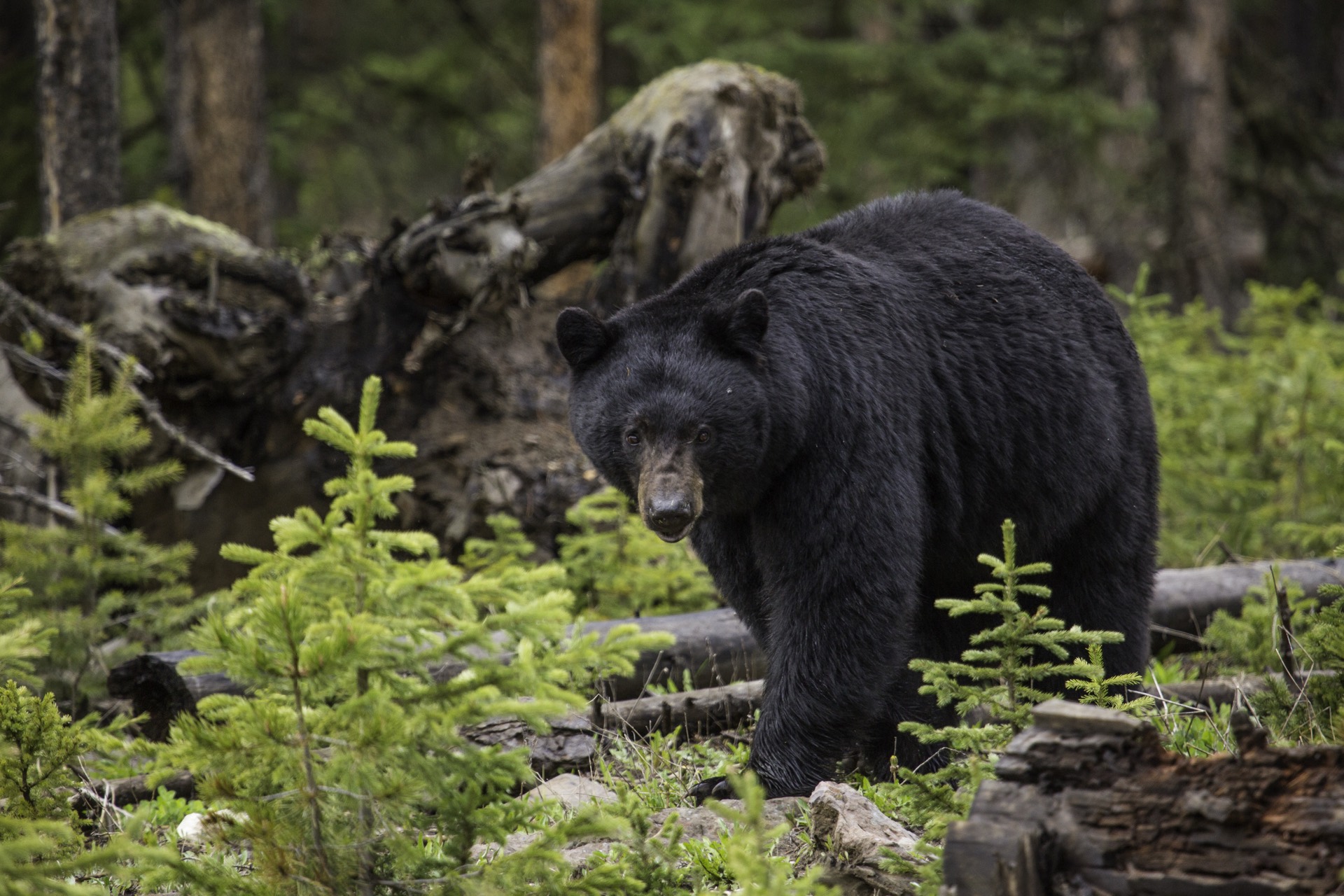
abundant qualityThe unit's standout — one of the largest black bear harvests in central Idaho, driven by berry-rich brushfields, burns, and productive Payette canyon habitat.
- →Glass green avalanche chutes and brushfields in spring, berry slopes in fall
- →Hunt burn regrowth and timbered creek heads where bears feed heavily
- →Work south-facing draws early and late; cover ground to locate feeding bears
Mule Deer
common opportunityGeneral deer opportunity across the timbered canyon country; mule deer work the mid-elevation benches and ridgelines, dropping with fall weather.
- →Glass open south faces and timber-edge benches at first and last light
- →Hunt the timber-meadow transitions above the river canyons
- →Follow deer to lower winter range as snow builds late season
Rocky Mountain Elk
common opportunityWestern anchor of the Sawtooth Elk Zone; elk hold in the roadless timber and high basins, with success typical of a capped-tag zone hunt in big, rugged country.
- →Get off the highway corridor and into roadless timber and high basins
- →Locate bulls in high pockets early, then hunt them down as pressure and weather move them
- →Focus on north-slope security timber and wallows near water
Pro tips
- →Come for the bears — this unit's berry-and-burn country produces a top-tier central-Idaho bear harvest; hunt both the spring green-up and the fall berry crop
- →The good hunting is uphill off ID-21; be ready to climb out of the river canyons into the timber
- →Buy Sawtooth Zone elk tags early — zone caps can fill
- →Watch for and respect private inholdings around Garden Valley, Crouch, and Lowman
- →Time deer and elk to the first hard weather that pushes animals off the high timber
Watch out for
- !Very steep, folded canyon terrain — physically demanding and easy to underestimate
- !Private inholdings cluster around the towns despite the mostly-public unit
- !Wildfire and post-burn closures/hazard trees are common in this heavily burned country — check current forest orders
- !Sawtooth Zone elk tags are capped and can sell out
Logistics
ID-21 (the Banks-Lowman highway) runs the length of the South Fork Payette through Garden Valley, Crouch, and Lowman for fuel, lodging, and the Lowman Ranger District; the Middle Fork Payette Road and side-drainage forest roads reach deep into the unit. Boise is roughly two hours out for a full resupply.
Nearest towns: Garden Valley, Crouch, Lowman, Banks, Idaho City
Seasons & regulations
This page carries no season dates or regulations. Get current rules from the official Idaho sources:
Research sources: IDFG Hunt Planner — Unit 33 · IDFG Hunt Planner — Sawtooth Elk Zone (Units 33-36) · USFS Boise National Forest
FAQ
- How big is Unit 33 in Idaho?
- Unit 33 (33 (Sawtooth)) covers about 676 square miles, ranging from roughly 3,000 to 8,500 feet in elevation. Area is computed from the unit boundary polygon.
- How much public land is in Unit 33?
- Approximately 90% of the unit is public land. Primary managers: USFS Boise National Forest, Idaho Department of Lands (IDL). Always verify ownership boundaries on the ground.
- What species does the catalog list for Unit 33?
- Black Bear, Mule Deer, Rocky Mountain Elk. For seasons, tags, and regulations, use the official Idaho agency resources linked on this page — this page carries no regulatory information.
Put Unit 33 on your map.
Boundary lines, public/private ownership, topo, and offline maps for this unit — in Baseline Maps, free for 14 days.