Idaho hunting units
Terrain, access, and species notes for 99 units. Seasons and regulations live with the official agencies — every unit page links them.
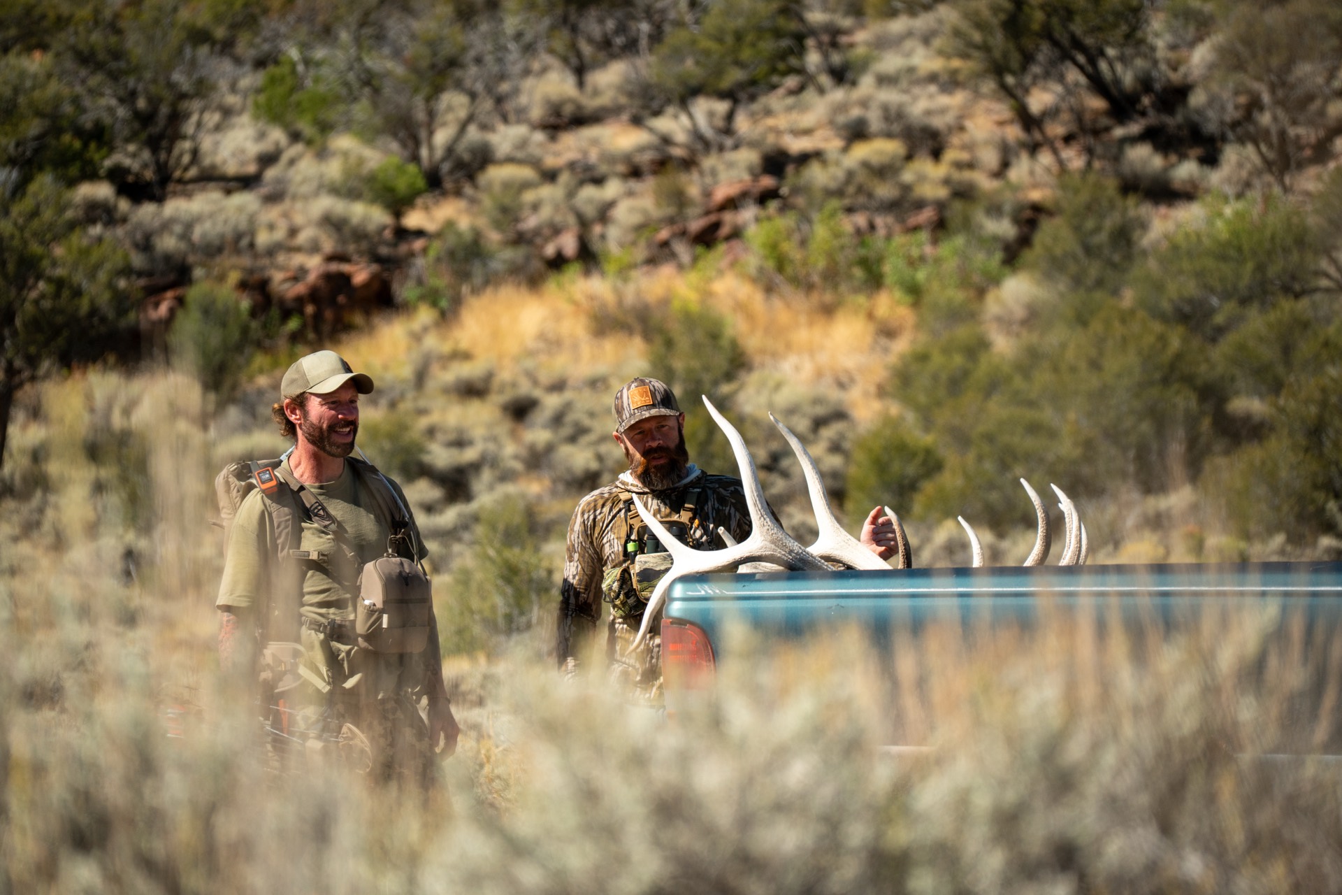
Idaho Panhandle — Boundary County & northern Bonner County
Idaho Panhandle — Kootenai/Bonner County (Rathdrum Prairie & west Pend Oreille)
Idaho Panhandle — Kootenai/Benewah/Shoshone County, St. Joe & Coeur d'Alene Mountains
Idaho Panhandle — Coeur d'Alene Mountains (Shoshone/Kootenai County)
Idaho Panhandle — east Lake Pend Oreille, Bonner County (Cabinet Mountains)
Idaho Panhandle — Benewah & Kootenai County (St. Joe / Coeur d'Alene Lake)
Idaho Panhandle — St. Joe River country; Benewah, Shoshone, Kootenai, Latah & Clearwater Counties (Panhandle Zone)
Idaho Panhandle — Shoshone County (St. Joe River / Bitterroot divide)
North-Central Idaho — Palouse; Latah, Nez Perce & Clearwater Counties (Clearwater Region)
North-Central Idaho — Palouse Timber Fringe; Benewah, Latah, Clearwater & Nez Perce Counties (Clearwater Region)
North-Central Idaho — North Fork Clearwater High Country; Shoshone & Clearwater Counties (Clearwater Region)
North-Central Idaho — Clearwater Region, Idaho County (Lolo Zone)
North-Central Idaho — Clearwater Region; Clearwater, Idaho & Shoshone Counties (Dworshak Zone)
North-central Idaho — Craig Mountain & Hells Canyon breaks (Nez Perce/Lewis County)
North-central Idaho — Palouse farm country (Latah/Nez Perce County)
North-central Idaho — Lolo & Lochsa backcountry (Idaho County, Clearwater NF)
North-Central Idaho — Salmon River / Hells Canyon breaks, Idaho County
North-Central Idaho — Elk City Zone / Gospel Hump country, Idaho County
North-Central Idaho — Elk City / South Fork Clearwater, Idaho County
North-Central Idaho — Clearwater Region, Idaho County
North-Central Idaho — Selway Country, Idaho County
North-Central Idaho — Selway-Bitterroot Wilderness, Idaho County
West-Central Idaho — Hells Canyon / Seven Devils, Idaho & Adams County
North-Central Idaho — Selway / Gospel-Hump backcountry, Idaho County
West-Central Idaho — South Fork Salmon / Secesh backcountry, Idaho & Valley County
Central Idaho — Idaho County, Salmon River breaks & Frank Church Wilderness
Central Idaho — Idaho/Valley County, Middle Fork & South Fork Salmon, Frank Church Wilderness
Central Idaho — Salmon River / Lemhi County (Region 7 — Salmon)
Central Idaho — Lemhi County / Salmon River foothills (Region 7 — Salmon)
West-Central Idaho — Weiser River / Adams & Washington County (Region 3 — Southwest)
West-Central Idaho — Little Salmon River / McCall Zone (Idaho, Adams & Valley Counties)
West-Central Idaho — Long Valley / North Fork Payette River (Valley County)
Central Idaho — South Fork Salmon River / Warm Lake–Yellow Pine (Valley County)
Central Idaho — Frank Church–River of No Return Wilderness (Valley/Idaho County)
Central Idaho — Middle Fork of the Salmon, Frank Church Wilderness (Valley/Custer/Lemhi County)
Central Idaho — Salmon River country, Salmon-Challis NF (Lemhi County)
East-central Idaho — Lemhi County, Salmon Region (Region 7)
East-central Idaho — Lemhi County, Beaverhead Mountains along the Montana line
East-Central Idaho — Lemhi County (Beaverhead Mountains / Continental Divide)
West-Central Idaho — Washington County (Snake River / Brownlee Reservoir)
West-Central Idaho — Washington/Adams/Gem County (Weiser River country)
West-Central Idaho — Weiser River country (Washington/Adams/Gem/Valley Counties)
Central Idaho — South & Middle Fork Payette country, Boise National Forest (Boise/Valley Counties)
Central Idaho — Bear Valley / Deadwood high country, Boise National Forest (Boise/Valley Counties)
Central Idaho — South Fork Payette headwaters, Boise County
Central Idaho — Sawtooth Valley & Stanley Basin, Custer County
Central Idaho — Pioneer Mountains & Big Lost River country, Custer County
Central Idaho — Salmon River Mountains, Custer County (Challis)
Central Idaho — Pahsimeroi Valley, Custer/Lemhi County
Central Idaho — Upper Pahsimeroi, Lost River & Lemhi Ranges (Custer/Lemhi County)
Southwest Idaho — Owyhee County (Owyhee Front)
Southwest Idaho — Boise Mountains, east of Boise (Boise/Elmore County)
Southwest Idaho — Owyhee County (Owyhee Mountains & Snake River)
Southwest Idaho — Owyhee County (Bruneau & Jarbidge River country)
Southwest Idaho — Owyhee County (Owyhee River Wilderness canyonlands)
Central Idaho — Smoky Mountains, Camas/Elmore County (Magic Valley)
Central Idaho — Camas Prairie & Fairfield, Blaine/Camas/Elmore County
Southwest-Central Idaho — Mount Bennett Hills, Camas/Elmore/Gooding County
Magic Valley — Owyhee/Twin Falls/Elmore County high desert
Magic Valley — Owyhee/Twin Falls County, Rogerson to the Nevada line
Magic Valley — Blaine County, Smoky & Soldier Mountains north of Fairfield
Central Idaho — Pioneer Mountains, Blaine & Butte County
Central Idaho — Big Lost River / Pioneer Mountains (Custer, Blaine & Butte Counties)
Central Idaho — Little Lost River / Lemhi & Lost River Ranges (Butte, Custer & Lemhi Counties)
South-Central Idaho — Bennett Hills / Smoky Mountains foothills (Camas, Gooding & Blaine Counties)
South-central Idaho — Big Desert (Butte, Blaine & Minidoka Counties)
South-central Idaho — Snake River Plain (Twin Falls, Jerome & Lincoln Counties)
South-central Idaho — South Hills / Sawtooth NF Cassia Division (Cassia & Twin Falls Counties)
South-Central Idaho — Cassia County (Albion Mountains / City of Rocks)
South-Central Idaho — Cassia/Oneida/Power County (Sublett Range & Raft River Valley)
South-Central Idaho — Cassia/Oneida County (Black Pine & Raft River Mountains)
Eastern Idaho — Birch Creek Valley, Beaverhead Mountains (Clark, Lemhi, Butte & Jefferson County)
Eastern Idaho — Medicine Lodge & Camas Creek country, Clark County
Eastern Idaho — Beaverhead Crest to Medicine Lodge Creek (Clark, Jefferson & Lemhi County)
Eastern Idaho — Island Park; Fremont County (Island Park Zone)
Eastern Idaho — Sand Creek / Island Park fringe; Fremont & Clark Counties (Island Park Zone)
Eastern Idaho — Centennial Mountains & west Island Park; Clark & Fremont Counties (Island Park Zone)
Eastern Idaho — West slope of the Tetons; Fremont, Madison & Teton Counties (Island Park Zone)
Eastern Idaho — Ashton to Island Park, Yellowstone's Bechler corner; Fremont County (Island Park Zone)
Eastern Idaho — Snake River Plain / INL desert (Bingham/Bonneville/Jefferson/Butte/Clark County)
Eastern Idaho — South Fork Snake River bottoms (Bonneville/Jefferson/Madison County)
Eastern Idaho — Big Hole Mountains front / Palisades Zone (Bonneville/Madison/Teton County)
Eastern Idaho — Teton Basin & Big Hole Mountains (Bonneville/Madison/Teton Counties)
Eastern Idaho — South Fork Snake River & Tex Creek (Bingham/Bonneville Counties)
Southeast Idaho — Diamond Creek & Caribou Range (Bonneville/Caribou Counties)
Eastern Idaho — Snake River Range & Big Hole Mountains, Bonneville County
Eastern Idaho — Big Desert / Snake River Plain, Butte & Bingham Counties
Eastern Idaho — Snake River bottoms near Blackfoot & Fort Hall, Bingham County
Eastern Idaho — Bonneville & Bingham County (Tex Creek country)
Southeast Idaho — Bannock & Power County (Bannock Range south of Pocatello)
Southeast Idaho — Portneuf Range, Bannock/Bingham/Caribou County
Southeast Idaho — Blackfoot River / Chesterfield country, Bingham/Caribou County
Southeast Idaho — Bannock/Malad Range & Curlew Grassland, Oneida/Bannock County
Southeast Idaho — Bannock Range / Arbon Valley, Bannock-Oneida-Power County
Southeast Idaho — Portneuf Range / Lava Hot Springs, Bannock-Caribou-Franklin County
Southeast Idaho — Bear River Range / Montpelier, Bear Lake-Caribou-Franklin County
Southeast Idaho — Caribou/Bear Lake County (Caribou Range / Diamond Creek)
Southeast Idaho — Franklin County (Bear River Range / Preston)
Southeast Idaho — Bear Lake/Franklin County (Bear River Range / Bear Lake West)
Every unit, with boundaries and ownership.
Baseline Maps has the boundary lines, public/private parcels, topo, and offline maps for all of these units. Free for 14 days.