Walla Walla River at Near Touchet
WA · USGS gauge 14018500
Discharge
43
CFS
7-day range
29–54
CFS
Catalog range
100–1,600
CFS · reference
Flood stage
3,500
CFS · catalog
Last 7 days
7-day low 29 CFS high 54 CFS
Source: USGS National Water Information System, gauge 14018500
Reading Jul 26, 6:30 AM PDT
Catalog range and flood stage: Baseline Maps river catalog (reference data, updated with the app). USGS data is provisional and subject to revision.
Drainage
- Terminal reach in the catalog drainage graph.
- Receives Touchet River (Near Waitsburg)
Reach data
- Gauge location: 46.0276, -118.7297
- Whitewater classification (catalog): Class I-II — Gentle valley river
- Gauge data cadence: ~15-minute readings (USGS)
FAQ
- What USGS gauge measures the Walla Walla River at Near Touchet?
- USGS gauge 14018500. It reports discharge in cubic feet per second (CFS), typically updating every 15 minutes, published by the USGS National Water Information System.
- What do the fishable-range numbers on this page mean?
- They are reference figures from the Baseline Maps river catalog — a compiled low/high discharge range and flood stage for this reach. They are catalog data, not a recommendation; conditions, regulations, and safety are always the angler's own call.
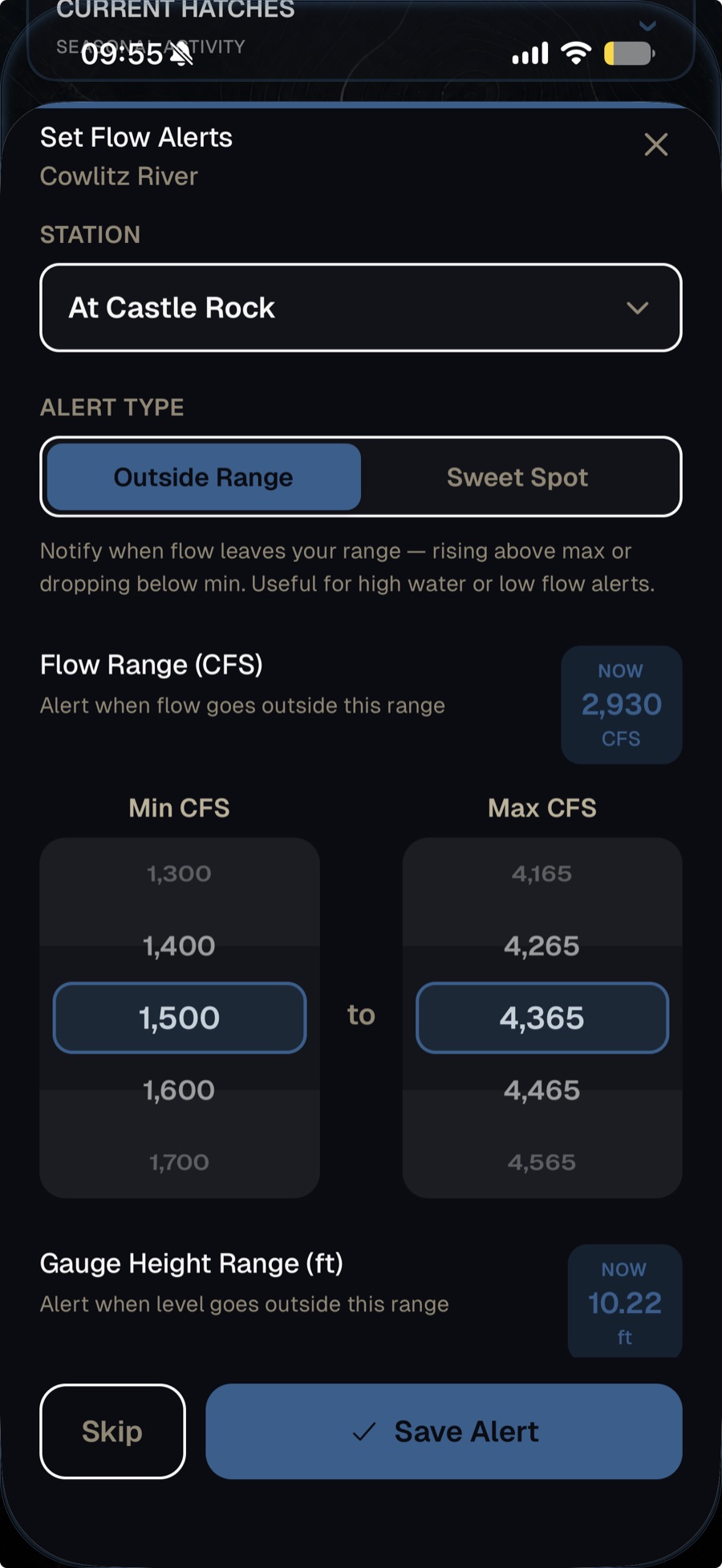
Track this gauge with flow alerts.
Baseline Maps watches USGS gauge 14018500 for you — set a CFS range for the Walla Walla River and get a push notification when the river enters it. Free for 14 days.