Arizona hunting units
Terrain, access, and species notes for 77 units. Seasons and regulations live with the official agencies — every unit page links them.
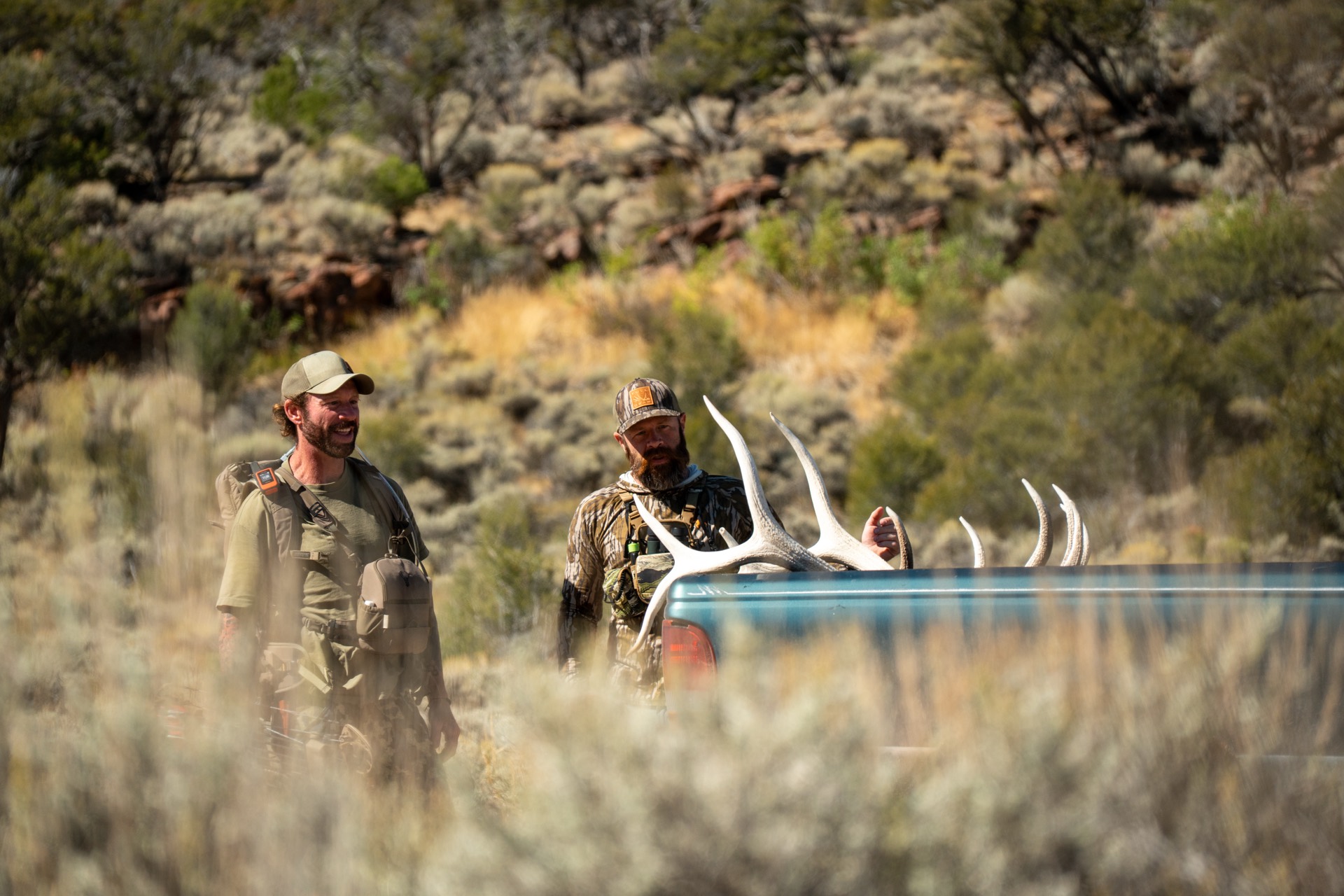
White Mountains — Apache-Sitgreaves NF
GMU 1
Unit 1 — Pinetop
Premier White Mountains elk country on the edge of the Mogollon Rim
GMU 2A
Unit 2A — Pinetop
Pinetop high country — quality rocky mountain elk, high-success pronghorn on the grassland edges, and mule deer
GMU 4A
Unit 4A — Pinetop
Premier White Mountains elk country above the Mogollon Rim.
Little Colorado high plateau — St. Johns / Salt Lake Road
Little Colorado high plateau — Concho / Vernon grasslands
Eastern Arizona grasslands — Little Colorado / Apache-Sitgreaves NF edge
White Mountains — Apache-Sitgreaves NF (Pinetop region)
White Mountains foothills & grasslands — Apache-Sitgreaves NF
Anderson Mesa & Mormon Lake — Coconino NF
Anderson Mesa high country — Coconino NF
Anderson Mesa / Mormon Lake high country — Coconino NF
Mogollon Rim to the Verde — Coconino NF
Northern high country — Coconino NF (Mogollon Rim / Mormon Lake)
Northern high country — Coconino/Kaibab NF (San Francisco Peaks north)
Northern high country — Kaibab/Coconino NF (Kendrick / Bill Williams Mtn)
Northern high country — Kaibab & Coconino NF (Williams)
Grand Canyon south rim country — Kaibab NF (Tusayan)
Northern Arizona grasslands — Kaibab NF / Aubrey Valley
Coconino high country — Anderson Mesa / Mormon Lake
North Kaibab Plateau — Kaibab NF
North Kaibab — Marble Platform & House Rock Valley
Arizona Strip — BLM & Kanab Creek country
Arizona Strip — BLM & Grand Canyon-Parashant
Northwest Arizona — Music/Peacock Mountains near Kingman
Northwest Arizona — Cerbat/Peacock Mountains, Kingman to the Colorado River
Northwest Arizona desert — Black Mountains, Mohave County
Northwest Arizona desert — southern Black Mountains, Mohave County
Northwest Arizona — Hualapai Mountains sky island & desert ranges, Mohave County
Lower Colorado River desert — western Arizona (BLM / Bill Williams River)
North-central Arizona — Prescott National Forest / Williamson Valley
Central Arizona — Prescott National Forest / Bradshaw Mountains
West-central Arizona — Kingman / BLM & state-trust grasslands (Region III)
West-central Arizona — Hualapai Mountains / Kingman (Region III)
Central Arizona — Prescott National Forest / Mingus Mountain (Region III)
West-central Arizona — Big Chino Valley & Prescott NF fringe
Central Arizona — Bradshaw Mountains, Prescott NF
Central Arizona — southern Bradshaw Mountains & Hassayampa country
Central Arizona — Weaver & Date Creek Mountains, Prescott NF fringe
Central Arizona — Agua Fria & Verde Rim, Prescott/Tonto NF
Central Arizona — Mazatzal Mountains & Mogollon Rim, Tonto NF
Central Arizona — Tonto NF, Sierra Ancha & Mogollon Rim
Central Arizona — Tonto NF around Globe, San Carlos border
Central Arizona — Superstition Wilderness & Salt River lakes, Tonto NF
Greater Phoenix metro — Sonoran Desert
Phoenix metro fringe — Sonoran Desert
Eastern high country — Apache-Sitgreaves NF / Blue Range
Southeastern sky islands — Coronado NF (Chiricahua Mountains)
Southeastern borderlands — Coronado NF (Peloncillo Mountains)
Southeastern sky islands — Coronado NF (Chiricahua/Peloncillo country)
Southern sky islands — Coronado NF (Chiricahua & Dos Cabezas)
Southeastern Arizona — Aravaipa, Galiuro & Santa Teresa ranges (Coronado NF / BLM)
Southern sky islands — Coronado NF (Santa Catalina & Rincon Mountains)
Southern sky islands — Santa Rita Mountains, Coronado NF
Southern sky islands & grasslands — Whetstone Mtns / Las Cienegas
Southern sky islands — Huachuca Mtns & Canelo Hills, Coronado NF
Southern sky islands — Coronado NF (Patagonia & Canelo Hills)
Southern desert border country — Altar Valley & Baboquivari
Southern sky islands — Coronado NF (Atascosa & Pajarito ranges)
Southern Arizona borderlands — Altar Valley & Sierrita Mountains
Sonoran desert northwest of Tucson — Ironwood Forest & Silver Bell Mountains
Central Arizona desert mountains — Tortilla Mountains & White Canyon
Greater Tucson — Sonoran Desert urban archery zone
Southwestern Sonoran Desert — Sonoran Desert National Monument / Goldwater Range
Sonoran Desert — Barry M. Goldwater Range & Sonoran Desert NM
Southwest desert — Barry M. Goldwater Range & Gila Mountains
Southwest desert — Kofa country & Palomas Plains
West-of-Phoenix desert — Harquahala, Harcuvar & Big Horn ranges
Lower Colorado River desert — Yuma region (BLM)
Lower Colorado / Gila desert — Yuma Proving Ground (BLM & military)
Kofa / Plomosa desert — Quartzsite region (BLM & Kofa NWR)
Southwestern Arizona low desert — La Paz County
Southwestern Arizona low desert — Kofa National Wildlife Refuge
Southwestern desert — Kofa National Wildlife Refuge
Southwestern desert — Cabeza Prieta NWR & Barry M. Goldwater Range
Every unit, with boundaries and ownership.
Baseline Maps has the boundary lines, public/private parcels, topo, and offline maps for all of these units. Free for 14 days.