Montana hunting units
Terrain, access, and species notes for 139 units. Seasons and regulations live with the official agencies — every unit page links them.
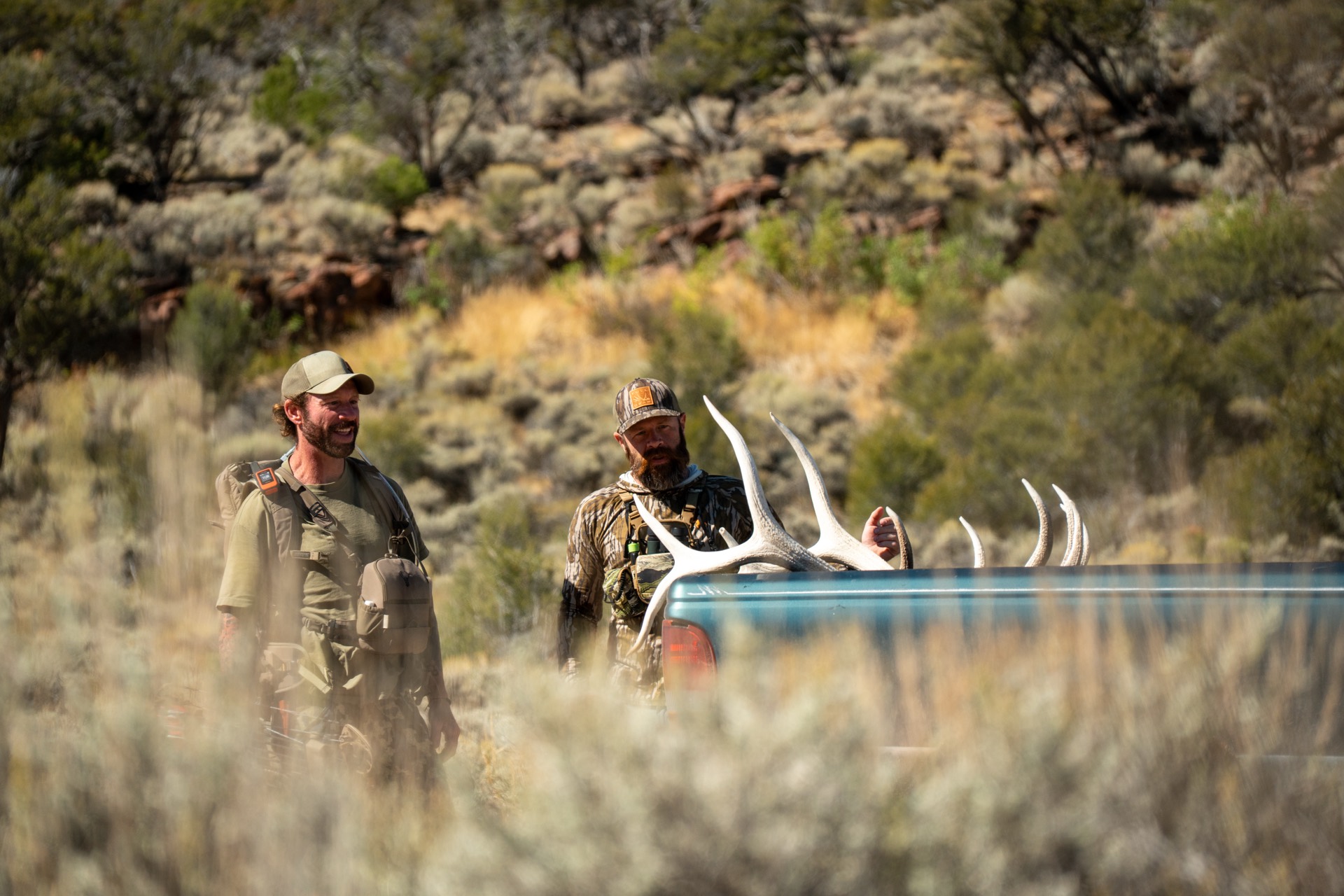
North Kootenai / Yaak — Region 1
Tobacco Valley / Eureka — Region 1
Salish Mountains — Region 1
Kootenai — Region 1 (Northwest Montana)
North Fork Flathead — Region 1 (Northwest Montana)
Salish Mountains — Region 1 (Northwest Montana)
Lower Clark Fork & West Cabinets — Region 1
Thompson River — Region 1
West Cabinet Mountains — Region 1
Lower Clark Fork — Region 1 (Northwest Montana)
Swan Valley — Region 1 (Northwest Montana)
South Fork Flathead / Hungry Horse — Region 1 (Northwest Montana)
Flathead & Great Bear Wilderness — Region 1
Bob Marshall Wilderness — Region 1
Flathead Valley — Region 1
Middle Clark Fork — Region 2
Ninemile — Region 2
South Superior — Region 2
North Sapphire Mountains — Region 2
John Long Mountains / Rock Creek — Region 2
Upper Rock Creek / Georgetown Lake — Region 2
Flint Creek Range / Rock Creek — Region 2
Flint Creek Range / Deer Lodge Valley — Region 2
Anaconda-Pintler / Continental Divide — Region 2
Boulder Mountains / East Deer Lodge — Region 2
Sapphire Mountains / West Rock Creek — Region 2
Garnet Range — Region 2
West Bitterroot — Region 2
West Fork Bitterroot — Region 2
Missoula Valley — Region 2
Bitterroot Valley — Sapphire Front, Region 2
Bitterroot Valley Floor — Region 2
East Fork Bitterroot — Sapphire Mountains, Region 2
North Blackfoot / Scapegoat Backcountry — Region 2
Upper Blackfoot / Lincoln — Region 2
Blackfoot-Clearwater WMA — Region 2
Monture / Seeley–Ovando — Bob Marshall Front — Region 2
Blackfoot Valley — Helmville–Ovando — Region 2
Garnet Range — Upper Clark Fork, Region 2
Blackfoot Valley — West Garnet Range, Region 2
Continental Divide — Nevada Creek, Region 2
Blackfoot Valley & Garnet Range — Region 2
Gallatin Range — Region 3
Tendoy Mountains — Region 3
Beaverhead Mountains / Continental Divide — Region 3
Spanish Peaks / Madison Range — Region 3
Gallatin Valley — Region 3
Upper Gallatin — Region 3
Lower Gallatin / Madison — Region 3
Bridger Mountains — Region 3
Northern Yellowstone — Region 3
Upper Yellowstone / Gallatin Range — Region 3
Shields Valley / West Crazy Mountains — Region 3
Boulder River / Absaroka-Beartooth — Region 3
Paradise Valley / Absaroka Front — Region 3
Boulder Mountains — Region 3
Anaconda-Pintler / Mount Haggin — Region 3
Tobacco Root Mountains — Region 3
West Big Hole / Beaverhead Range — Region 3
Lower Ruby Valley — Region 3 (Southwest Montana)
Snowcrest & Gravelly Ranges — Region 3 (Southwest Montana)
Blacktail Mountains & Sage Creek — Region 3 (Southwest Montana)
Horse Prairie / Beaverhead — Region 3
Pioneer Mountains — Region 3
Boulder Mountains / Helena South — Region 3
Helena Foothills / Continental Divide — Region 3
Highland Mountains — Region 3
Continental Divide West of Helena — Region 3
Boulder–Whitetail Country — Region 3
Madison Valley — Region 3
Hebgen–Upper Madison — Region 3
Boulder Valley / Bull Mountains — Region 3
Elkhorn Mountains — Region 3
Helena Valley — Region 3
West Big Belt Mountains — Region 3
West Big Belt Mountains / Canyon Ferry — Region 3
Gates of the Mountains / North Big Belts — Region 3
Bridger Range East Slope / Shields Valley — Region 3
Golden Triangle Wheat Country — Region 4
Hi-Line / Marias — Sweetgrass Hills Country — Region 4
Golden Triangle Plains / Hi-Line — Region 4
Golden Triangle Plains — Region 4
Missouri River Breaks — Region 4
Unit 405
District 405 (Region 4)
Missouri breaks northeast of Great Falls — some of Montana's best general-season mule deer bucks, if you can get on the private ground.
Unit 417
District 417 (Region 4)
Broken Breaks country on the south side of the Missouri — glass-and-hike mule deer with a few sleeper bulls.
Unit 426
District 426 (Region 4)
Broken prairie and canyon country north of Lewistown where big Breaks elk and drought-thinned mule deer share the coulees above the Missouri.
Rocky Mountain Front Prairie — Region 4 (North-Central Montana)
Missouri River Breaks — Region 4 (Central Montana)
Big Snowy Mountains — Region 4 (Central Montana)
Judith & Moccasin Island Ranges — Region 4
Little Belt Front & Belt Creek — Region 4
Rocky Mountain Front — Summit / North Fork Birch Creek — Region 4
Little Belt Mountains — Region 4
Unit 416
District 416 (Region 4)
Timbered island-range elk on the southwest flank of the Little Belts above White Sulphur Springs.
Unit 432
District 432 (Region 4)
The east face of the Little Belts — an island-range forest of elk, timbered mule deer, and creek-bottom whitetails carved out east of Highway 89.
Unit 448
District 448 (Region 4)
Public-land elk in the south Little Belts along the Middle Fork Judith — a genuine DIY general district for those willing to go deep.
Little Belt Mountains / Judith Basin — Region 4
Judith Basin Plains — Region 4
Little Belt Mountains / Judith River — Region 4
North Big Belt Mountains / Smith River — Region 4
Rocky Mountain Front — Region 4
Unit 422
District 422 (Region 4)
Big country southwest of Augusta between the Dearborn and Sun rivers — general either-sex elk off the Forest, shoulder seasons, and prairie-to-peak variety.
Unit 441
District 441 (Region 4)
The wild edge of the Bob Marshall northwest of Choteau — trophy migratory elk, thinning mule deer, and dense grizzly country where prairie slams into limestone.
Sun River / Rocky Mountain Front — Region 4
Unit 424
District 424 (Region 4)
The mountain heart of the Sun River elk herd west of Augusta — Gibson Reservoir, the North and South forks, and permit-only quality on the front of the Bob.
Unit 425
District 425 (Region 4)
The Sun River Wildlife Management Area unit northwest of Augusta — winter refuge for the Sun River elk herd and one of Montana's hardest elk permits to draw.
Unit 442
District 442 (Region 4)
Legendary backcountry along the Sun River and the Bob Marshall — migratory bull elk, giant Front mule deer, and full-on grizzly country.
Sun River Prairie / Rocky Mountain Front — Region 4
Northern Big Belts / Hound Creek — Region 4
Big Belt Mountains — Region 4
Highwood Mountains — Region 4
Teton River Front — Region 4
Smith River Foothills — Region 4
Castle Mountains — Region 4
Beartooth WMA — Missouri River Canyon, Region 4
Golden Triangle & Highwood Front — Region 4
Clarks Fork Valley — Region 5, South-Central Montana
Yellowstone–Musselshell Divide — Region 5
Boulder River / Absaroka-Beartooth — Region 5
Musselshell / Little Snowy Mountains — Region 5
Southeast Little Belt Mountains — Region 5 (South-Central Montana)
Pryor Mountains — Region 5 (South-Central Montana)
Absaroka-Beartooth Wilderness — Region 5 (South-Central Montana)
Pryor Mountains — Region 5
Crazy Mountains — Region 5
Bull Mountains & Pine Ridge — Region 5
Hi-Line Prairie — Region 6
Missouri River Breaks — Region 6
Unit 620
District 620 (Region 6)
Sage flats and juniper breaks just north of the Missouri — high-harvest mule deer and draw-only Breaks elk.
Unit 621
District 621 (Region 6)
Upper Missouri Breaks West — steep, roadless CMR country where drawn elk, big mule deer, and bighorns live in the badlands.
Unit 622
District 622 (Region 6)
The heart of the Middle Missouri Breaks — CMR badlands, trophy bulls by permit, and rugged mule deer country.
Unit 630
District 630 (Region 6)
Big public-land breaks north of Fort Peck — permit-only elk, opportunity mule deer, and wide-open BLM prairie.
Northeast Prairie / Hi-Line — Region 6
Northeast Prairie & Missouri Breaks Edge — Region 6
Missouri River Breaks & CMR Refuge — Region 6
Hi-Line Prairie & Milk River — Region 6
Bears Paw Mountains / Hi-Line — Region 6
Missouri River Breaks — Region 7
Eastern Plains / Yellowstone — Region 7
Yellowstone Pine Hills — Region 7
Lower Yellowstone Prairie — Region 7
Tongue-Powder Custer Country — Region 7
Southeast Prairie & Pine Breaks — Region 7
Every unit, with boundaries and ownership.
Baseline Maps has the boundary lines, public/private parcels, topo, and offline maps for all of these units. Free for 14 days.