Colorado hunting units
Terrain, access, and species notes for 186 units. Seasons and regulations live with the official agencies — every unit page links them.
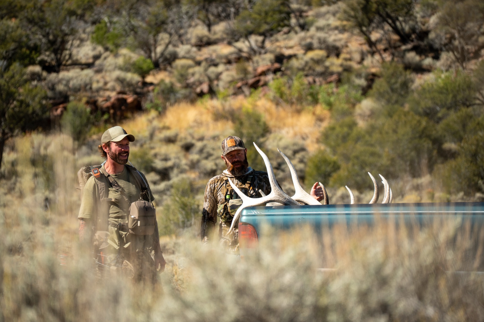
Far Northwest Colorado — Moffat County (Cold Springs Mountain / Browns Park)
Far Northwest Colorado — Moffat County (Douglas Mountain / Sand Wash Basin)
Far Northwest Colorado — Moffat County sage breaks north of Craig
Northwest Colorado — Elkhead Mountains & upper Yampa
Northwest Colorado — Elkhead Mountains & Upper Yampa (Moffat/Routt County)
North-central Colorado — North Park sagebrush basin (Jackson County)
Northern Colorado Front Range high country — Laramie River / Rawah (Larimer County)
North-central Colorado — Poudre Canyon & Cameron Peak country (Roosevelt NF)
Northern Front Range foothills & plains — Laramie Foothills (Larimer & Weld counties)
Northwest Colorado — Moffat & Rio Blanco Counties (Blue Mountain / Cross Mountain / Yampa River)
Northwest Colorado — Danforth Hills elk and mule deer country
Northwest Colorado — Upper Yampa elk country
Northwest Colorado — Elk River and Mount Zirkel high country
Northwest Colorado — Upper Yampa / Routt National Forest elk country
North-central Colorado — North Park (Jackson County)
North-central Colorado — southeast North Park (Jackson County)
North-Central Colorado — Grand County (Rabbit Ears to the Colorado River)
Northern Front Range — Larimer County (Cache la Poudre / Comanche Peak country)
Front Range — Roosevelt National Forest foothills west of Loveland and Boulder
Northwest Colorado — Piceance Basin mule deer winter range and Roan Plateau
Northwest Colorado — Piceance Basin, White River mule deer and elk
Northwest Colorado — White River elk country west of the Flat Tops
Northwest Colorado — the Flat Tops heart of the White River elk herd
Northwest Colorado — Garfield & Eagle Counties (southern Flat Tops / Deep Creek / Sweetwater)
Northwest Colorado — Eagle, Garfield & Routt Counties (Flat Tops / Deep Lake / Derby Creek)
North-central Colorado — Grand & Routt Counties (western Middle Park / Gore Range / State Bridge)
North-Central Colorado — Middle Park / Fraser Valley (Grand County)
Front Range — Boulder / Gilpin / Jefferson foothills to the Continental Divide
West-Central Colorado — Book Cliffs BLM country north of the Colorado River
West-Central Colorado — Roan Plateau elk and mule deer country
Northwest Colorado — Garfield County (Roan Plateau / Battlement Mesa)
Northwest Colorado — Garfield & Rio Blanco Counties (Rifle to the White River divide)
Northwest Colorado — Garfield & Eagle Counties (Canyon Creek to Deep Creek, Flat Tops fringe)
Central Colorado — Eagle County (Castle Peak / Red Table Mountain, White River NF)
Central Colorado — Eagle & Grand Counties (Gore Range / Eagle's Nest Wilderness, White River NF)
Central Colorado — Williams Fork Mountains and Green Mountain Reservoir
Front Range Colorado — Clear Creek foothills and James Peak Wilderness
Front Range Colorado — Mount Blue Sky (Mount Evans) high country
West-central Colorado — Piñon Mesa (Glade Park / Black Ridge), west of Grand Junction
West-central Colorado — north end of the Uncompahgre Plateau (Kannah Creek / Whitewater), south of Grand Junction
West-central Colorado — Mesa & Garfield Counties (Battlement Mesa / north flank of the Grand Mesa)
Central Colorado — Roaring Fork Valley (Aspen / Carbondale / Glenwood Springs, White River NF)
Central Colorado — Red Table Mountain and the Frying Pan country
Central Colorado — Frying Pan headwaters / Sylvan Lake (White River NF)
Front Range — North Fork South Platte / Mount Blue Sky country (Pike NF)
Central Colorado — Fryingpan & upper Roaring Fork (White River NF, Eagle/Pitkin County)
Central Colorado — Sawatch Range high country above Leadville
Central Colorado — Mosquito Range between Leadville, Fairplay and Buena Vista
Central Colorado — North & Central South Park (Park County)
Front Range foothills — Rampart Range (Douglas Co.)
Western Slope — Delta County (southwest flank of Grand Mesa)
West-Central Colorado — West Elk Wilderness and the North Fork country
West-Central Colorado — northern Gunnison Basin and southern West Elk
Central Colorado — Taylor Park and the Elk Mountains
Central Colorado — Collegiate Peaks east slope above the upper Arkansas
Central Colorado — Arkansas River valley & Aspen Ridge (Chaffee/Park/Fremont)
Central Colorado — Thirtynine Mile Mountain & Guffey high country (Fremont/Park)
South-central Front Range — Pikes Peak foothills to the Pueblo plains
West End of Montrose/Mesa County — Dolores River canyon & Paradox country
Uncompahgre Plateau — southwest slope (Mesa/Montrose/Ouray/San Miguel Co.)
Uncompahgre Plateau — northeast slope (Delta/Mesa/Montrose/Ouray Co.)
West-Central Colorado — Black Mesa and the West Elk foothills above the North Fork Valley
West-Central Colorado — arid mesas and the Black Canyon south rim between Montrose and Delta
Southwest Colorado — the Big Cimarron and Uncompahgre high country southeast of Montrose
Southwest Colorado — Gunnison Basin / Lake City high San Juans
Southwest Colorado — Gunnison Basin / Cochetopa & La Garita
South-central Colorado — upper San Luis Valley / La Garita east slope
South-Central Colorado — the Wet Mountains between Cañon City and Westcliffe
Southwest Colorado — Uncompahgre Plateau (Dolores/Montrose/San Miguel counties)
Southwest Colorado — upper Dolores River / San Juan NF elk country
Southwest Colorado — Great Sage Plain & Canyons of the Ancients
Southwest Colorado — Haycamp Mesa and the San Juan foothills above Cortez
Southwest Colorado — high San Juans north of Durango
Southwest Colorado — San Juan Mountains north of Durango
South-central Colorado — Upper Rio Grande & Creede high country
Southwest Colorado — San Juan Mountains northwest of Pagosa Springs
South-central Colorado — South San Juan Wilderness east of Pagosa Springs
South-central Colorado — San Luis Valley & La Garita foothills (Rio Grande NF)
South-central Colorado — western San Luis Valley / Conejos country
South-central Colorado — Conejos River / South San Juan high country
South-central Colorado — eastern San Luis Valley / Sangre de Cristo west slope
South-central Colorado — San Luis Valley & the Culebra Range
South-central Colorado — the Wet Mountains & Greenhorn
Southern Colorado — Spanish Peaks & the Cuchara country
South-central Colorado — Wet Mountain Valley under the Sangre de Cristos
Northeast Colorado plains — Pawnee shortgrass prairie
Northeast Colorado plains — heart of the Pawnee Grassland
Northeast Colorado plains — South Platte prairie and breaks
Northeastern Colorado plains — Nebraska-line farm country (Logan & Sedgwick counties)
Northeastern Colorado plains — South Platte river-bottom country (Logan County)
Northeast Colorado plains — South Platte corner, Logan/Sedgwick Co.
Northeast Colorado plains — South Platte sandhills, Logan/Sedgwick/Phillips Co.
Northern Front Range plains — South Platte/Poudre farm country, Larimer/Weld/Adams Co.
Northeast Colorado — South Platte shortgrass plains
Northeast Colorado — Logan/Washington plains
Northeastern Colorado plains — sandhills south of Sterling (Logan, Washington & Morgan Counties)
Far northeastern Colorado plains — the Nebraska-line corner (Logan, Phillips, Yuma & Washington Counties)
Northeastern Colorado plains — South Platte high plains (Weld, Morgan & Adams Counties)
Northeastern Colorado plains — Washington & Morgan Counties
Northeast Colorado plains — Washington/Yuma County sandsage and farm country
Northeast Colorado plains — Arikaree River farm and sandsage country
Far southeast Yuma County — South Fork Republican River near the Kansas line
Front Range plains — Denver's southeast prairie
Eastern Colorado plains — shortgrass pronghorn country
Eastern Colorado plains — shortgrass and sandhills pronghorn
Eastern Colorado plains — Washington/Lincoln/Kit Carson pronghorn country
Far-eastern Colorado plains — Washington/Yuma/Kit Carson river-bottom country
Eastern Plains Colorado — shortgrass prairie east of Colorado Springs
Eastern Plains Colorado — high prairie of Elbert, Lincoln and El Paso counties
Eastern Plains Colorado — Lincoln County wheat and prairie
Eastern Colorado plains — Lincoln/Cheyenne County shortgrass prairie
Eastern Colorado plains — Lincoln/Kit Carson/Cheyenne County shortgrass
Eastern Colorado plains — Kit Carson/Cheyenne County shortgrass
Eastern Colorado plains — Kit Carson / Cheyenne County shortgrass
Eastern Colorado plains — Kit Carson / Cheyenne County, Kansas line
El Paso County plains — east of Colorado Springs, Palmer Divide edge
Eastern Colorado plains — Big Sandy shortgrass prairie
Southeastern Colorado plains — Rush Creek shortgrass country
Eastern Colorado plains — Cheyenne/Lincoln/Kiowa shortgrass
Far eastern Colorado plains — Cheyenne/Kiowa near the Kansas line
Front Range foothills-to-plains — El Paso/Pueblo south of Colorado Springs
Southeast Colorado plains — Arkansas River shortgrass prairie
Southeast Colorado plains — lower Arkansas River valley
Southeast Colorado plains — Arkansas River toward the Kansas line
Southeast Colorado — Arkansas River shortgrass plains
Southeast Colorado — Apishapa canyon and mesa country
Southeast Colorado — Arkansas Valley dryland plains
Northwest Colorado — Steamboat's private-ground fringe
Southeastern Colorado plains — Prowers County Arkansas River country
South-central Colorado — Huerfano/Las Animas foothills and grassland
Southeastern Colorado — Las Animas/Pueblo piñon-juniper mesa and canyon country
Southeast Colorado plains — Timpas grassland and Arkansas River pronghorn country
Southeast Colorado plains — Purgatoire canyon and Comanche grassland
Southeast Colorado plains — Mesa de Maya country and Comanche grassland
Southeast Colorado — Baca County shortgrass plains
Southeast Colorado — Baca County plains and Comanche Grassland canyons
Southeast Colorado — Las Animas mesa and canyon country south of Trinidad
Southeast Colorado — Las Animas prairie and Purgatoire breaks east of Trinidad
Southeast Colorado — Purgatoire plains and canyon country of northeast Las Animas County
Southeast Colorado — Las Animas County shortgrass and Purgatoire canyon country
Southeast Colorado — Baca County Comanche National Grassland (Carrizo Unit)
Southeast Colorado — eastern Baca County Comanche National Grassland canyon country
Southeast Colorado plains — Bent & Prowers County shortgrass prairie
Southeast Colorado — Las Animas County Purgatoire canyon country
North-central Colorado — northern North Park (Jackson County)
North-Central Colorado — North Park (Jackson County)
North-Central Colorado — Grand County (Kremmling to the Rabbit Ears Range)
Northern Front Range — Larimer County (Red Feather Lakes / Cherokee Park)
Far Northwest Colorado — Vermillion / Sand Wash trophy mule deer country
Northwest Colorado — Danforth Hills, White River elk country
Northwest Colorado — Routt County sage and aspen, Bears Ears elk country
Northwest Colorado — the Little Flat Tops and Williams Fork high country
Northwest Colorado — Moffat County sage-steppe and dryland ranch country
Central Colorado — Eagle & Grand Counties (Sheephorn Creek / Elliott Ridge, Gore Range)
Central Colorado — Gore Range and Eagles Nest Wilderness
Front Range Colorado — Denver foothills urban interface
West-central Colorado — Uncompahgre Plateau (Escalante / Roubideau country), south of Grand Junction
West-central Colorado — Mesa & Garfield Counties (eastern Grand Mesa)
Central Colorado — Elk Mountains high country south of Aspen
Northwest Colorado — Elkhead Mountains sage-and-oakbrush country
Central Colorado — Roaring Fork / Frying Pan (White River NF)
Front Range foothills — Jefferson & Park County (Pine / Bailey / North Fork South Platte)
Central Colorado — Elk Mountains south of Aspen (Maroon Bells-Snowmass, White River NF, Pitkin County)
Central Colorado — Collegiate Peaks and the Sawatch above Buena Vista
Central Colorado — Northwest South Park to the Continental Divide (Park County)
Central Colorado — Tarryall Mountains & Lost Creek Wilderness (Park/Jefferson Co.)
Pikes Peak region — Rampart Range & Rampart Reservoir (Teller/El Paso/Park Co.)
Front Range — El Paso County (U.S. Air Force Academy, north Colorado Springs)
Western Slope — Delta & Gunnison Counties (Grand Mesa & North Fork high country)
Central Colorado — west-slope Sawatch and Cochetopa Hills above Gunnison
Central Colorado — south Sawatch crest above Poncha Pass
Central Colorado — South Park's southeast corner (Wilkerson Pass / Eleven Mile)
South-central Front Range — Fort Carson Military Reservation (Pueblo/El Paso/Fremont Co.)
South-Central Colorado — Saguache foothills and Cochetopa Hills
South-Central Colorado — San Luis Valley floor east of Saguache
South-Central Colorado — Wet Mountains east of the Sangres (Custer/Fremont counties)
Southwest Colorado — Disappointment Valley & Dry Creek Basin
Southwest Colorado — mesa and pinyon-juniper country south of Durango
Southwest Colorado — Animas & Vallecito high country, Weminuche edge
Southwest Colorado — foothills south of Pagosa Springs (Southern Ute country)
South-central Colorado — San Luis Valley floor (Rio Grande bottomlands)
South-central Colorado — Sangre de Cristo high country west of Trinidad
South-central Colorado — southwest Huerfano County under the Sangre de Cristos
Northeast Colorado — lower South Platte plains
Every unit, with boundaries and ownership.
Baseline Maps has the boundary lines, public/private parcels, topo, and offline maps for all of these units. Free for 14 days.